
East Africa Pictures, Images and Stock Photos
Browse 519,800+ east africa stock photos and images available, or search for east africa covid or east africa phone child to find more great stock photos and pictures.
east africa covid
east africa phone child
east africa map vector
europe middle east africa
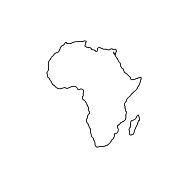
east africa map
middle east africa
middle east africa map
east africa flag
east africa map microchips
river in east africa
east africa modern
east africa safari
east africa rift
east africa children
map of east africa
german east africa
east africa business
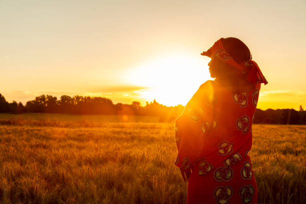
east africa women
east africa river
east africa phone
Most popular
Africa regions political map with single countries. United Nations geoscheme. Northern, Western, Central, Eastern and Southern Africa in different colors. English labeling. Illustration. Vector.
Africa map. vector
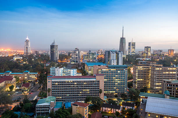
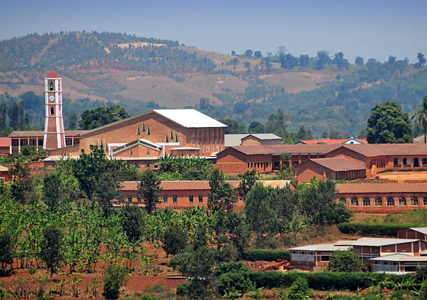
Modern Nairobi cityscape - capital city of Kenya, East Africa
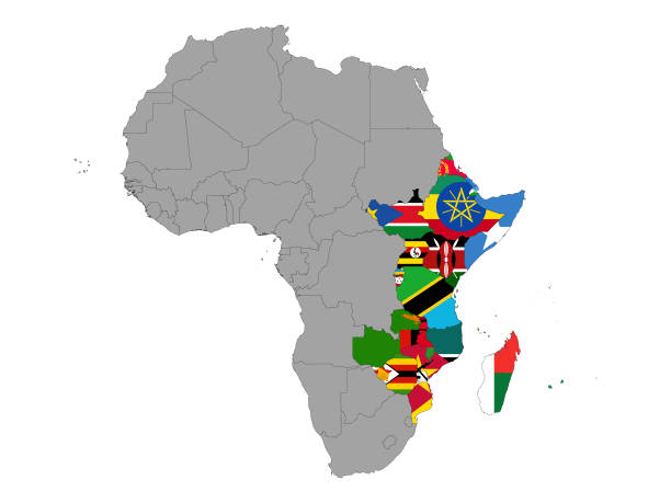
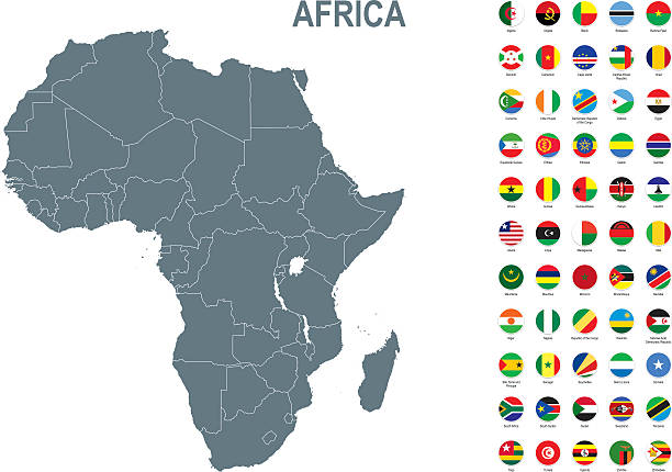
vector illustration of Map of East Africa countries with national flag
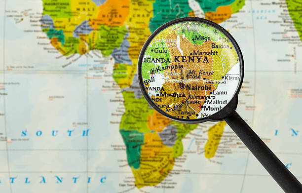
Map of Republic of Kenya through magnifying glass
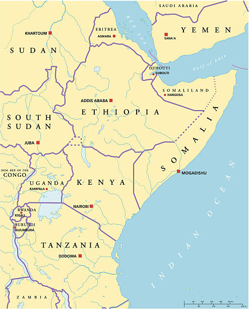
Political map of East Africa with capitals, national borders, rivers and lakes. Vector illustration with English labeling and scaling.

http://dikobraz.org/map_2.jpg
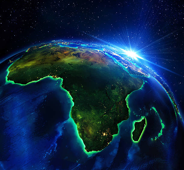
Africa, elements of this image furnished by NASA
Vector map with contour.
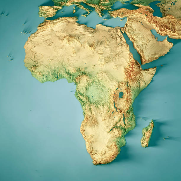
3D Render of a Topographic Map of Africa. All source data is in the public domain. Color texture: Made with Natural Earth. http://www.naturalearthdata.com/downloads/10m-raster-data/10m-cross-blend-hypso/ Relief texture: GMTED2010 data courtesy of USGS. URL of source image: https://topotools.cr.usgs.gov/gmted_viewer/viewer.htm Water texture: HIU World Water Body Limits: http://geonode.state.gov/layers/?limit=100&offset=0&title__icontains=World%20Water%20Body%20Limits%20Detailed%202017Mar30
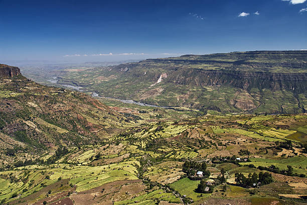
Rural area with cultivated fields in the Rift Valley in Ethiopia near Debre Libanos
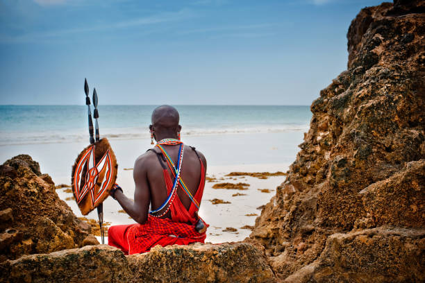
African man of the Maasai tribe in Kenya sits on the ocean and looks into the distance. The flavor of the journey. Travel Culture
Gitega / Kitega, Burundi: Cathedral of Christ the King (Cathédrale Christ Roi) - Roman Catholic Archdiocese of Gitega - Archidioecesis Kitegaensis - photo by M.Torres
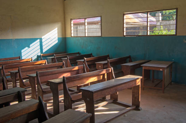
An ordinary classroom in an African school.

African black woman holding baby and sitting down outdoors

Young African woman in traditional clothes standing in entrance of her store, smiling at camera
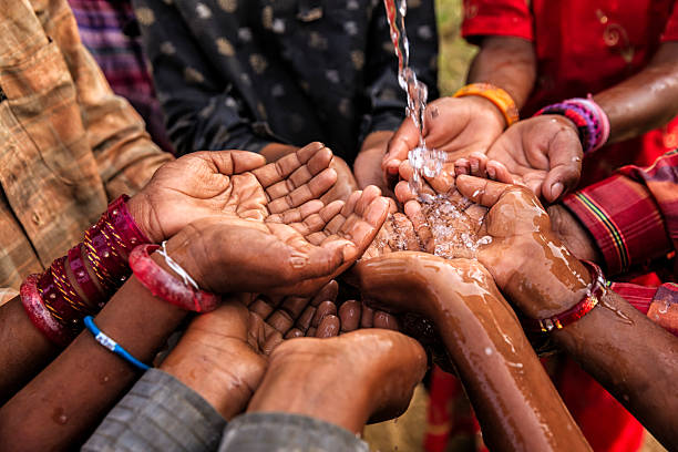
Poor African children keeping their hands up - asking for drinking water.

Climate change landscape of drought land
This vector map of Africa continent is accurately prepared by a GIS and remote sensing expert with highly detailed information.
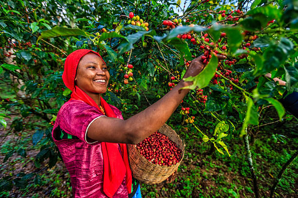
Young African woman collecting coffee berries from a coffee plant, Ethiopia, Africa. There are several species of Coffea - the coffee plant. The finest quality of Coffea being Arabica, which originated in the highlands of Ethiopia. Arabica represents almost 60% of the world’s coffee production..
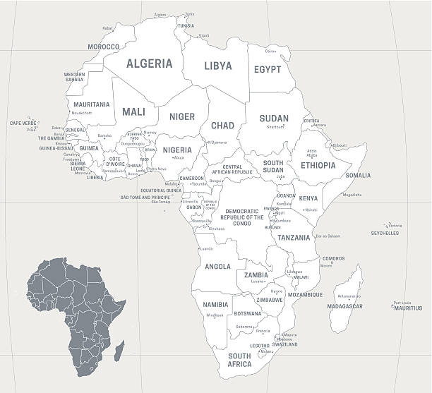
Map of Africa with labeled countries and capital cities. All elements grouped in their own layers, labeled and alphabetized for easy editing. (See screenshot.) EPS 10 file. Transparency effects used longitude and latitude lines.
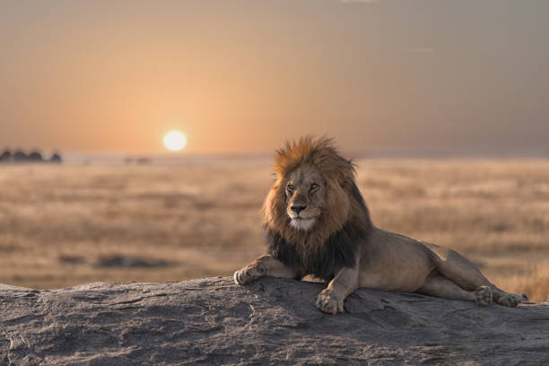
This photo was shoot during my game drive safari in Serengeti national park, Tanzania. The male lion is sitting on the top of the rock and look for his land.
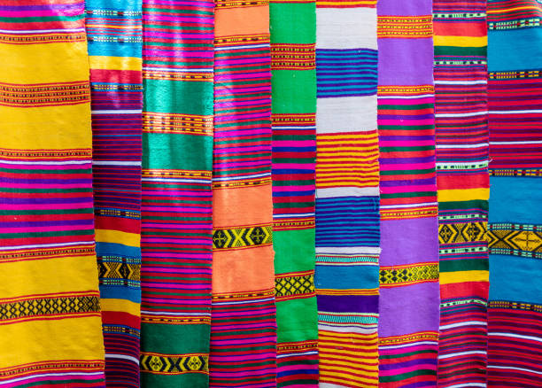
Traditional Ethiopian textiles, hand made colorful scarf on market, Lake Tana Ethiopia
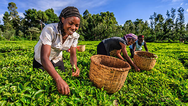
African women plucking tea leaves on plantation in Kenya, Africa.
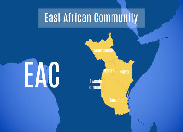
Vector map of the East African Community (EAC).

Side view of a beautiful young African girl dressed in traditional clothing and a headscarf standing against a plain brown yellow warm background communicating on her mobile phone whilst smiling warmly and friendly at the camera n Dar es Salaam East Africa

Masai in traditional clothes joining hands in unity (Zanzibar, Tanzania),

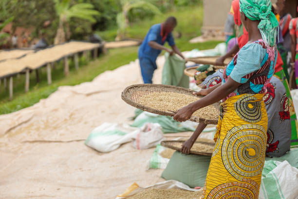
African American female workers sorting through coffee cherries in region of Rwanda
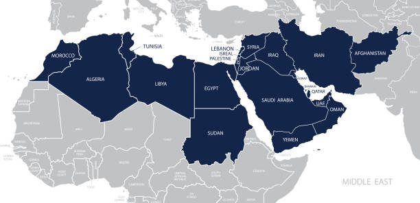
Map of Middle East. Member states are as follows;
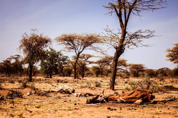
Drought and famine - dead hungry cattle on dry Masai land in Kenya


A rock Kopje on the African savannah

People collection
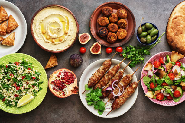
Arabic and Middle Eastern dinner table. Hummus, tabbouleh salad, Fattoush salad, pita, meat kebab, falafel, baklava, pomegranate. Set of Arabian dishes.Top view, flat lay.
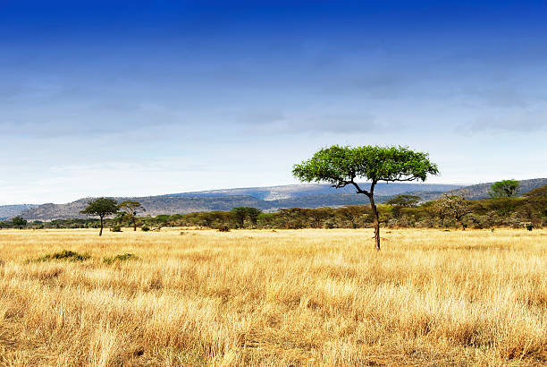
Landscape with grasslands and acacia trees in world's largest caldera,Tanzania. Home to the Big Five.
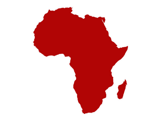
vector illustration of Africa Continent map
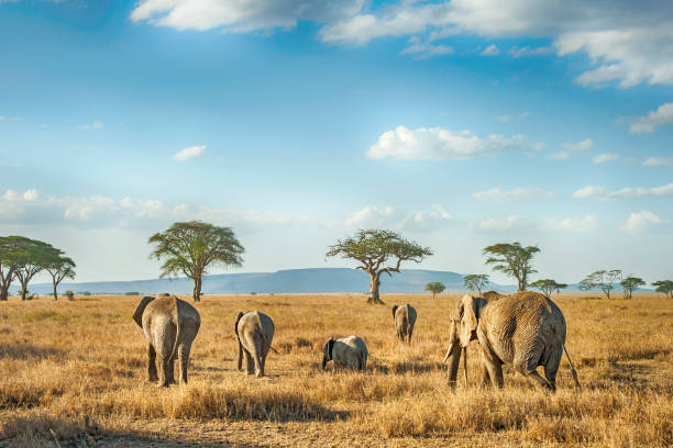
'A small group of African Elephants in different ages is moving in the plains of Serengeti.Location: Serengeti National Park, Tanzania. Shot in wildlife.'
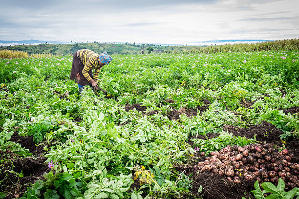
Smallholder potato farmer harvesting in Kenya

Nairobi business people aged 20s to 40s sitting independently at window counter space and smiling women approaching camera, walking and talking.
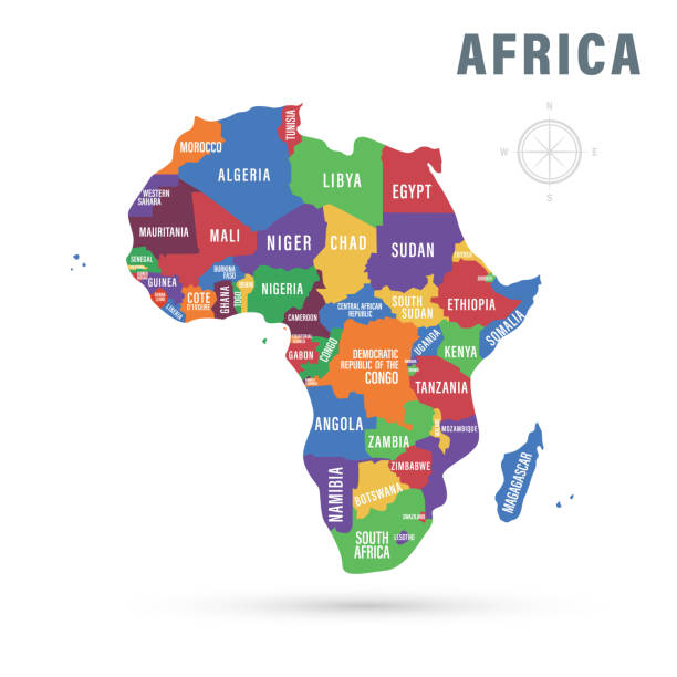
Vector illustration. Africa political map with country names.

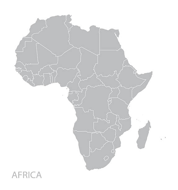
Africa, single countries, gray political map. Largest continent, including Madagascar. With English country names and international borders. Isolated illustration on white background. Vector.
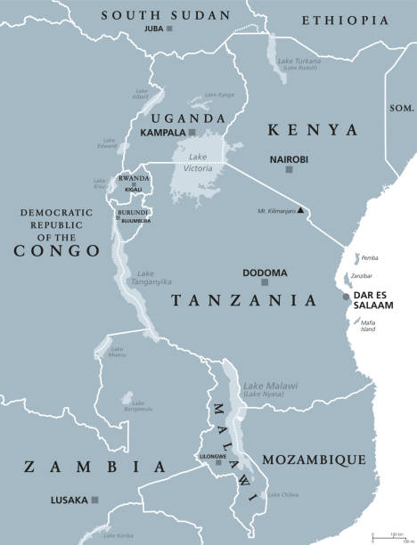
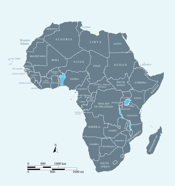
African Great Lakes. Political map with capitals and borders. Lake Victoria, Tanganyika, Malawi, Turkana und smaller ones. English labeling. Gray illustration on white background. Vector.
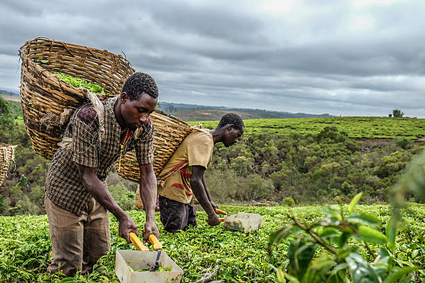
Two tea farmers harvesting their hard earned crops
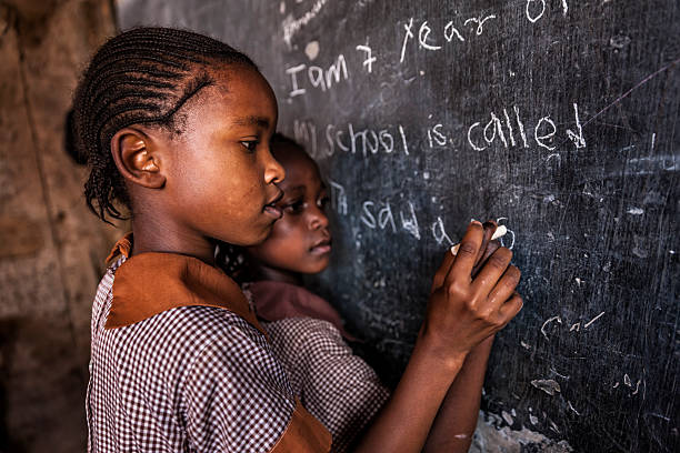
African little girls during their English class in orphanage. There is no light and electricity inside the classroom. Around 50-60 orphans live in this orphanage which is located near Nairobi.
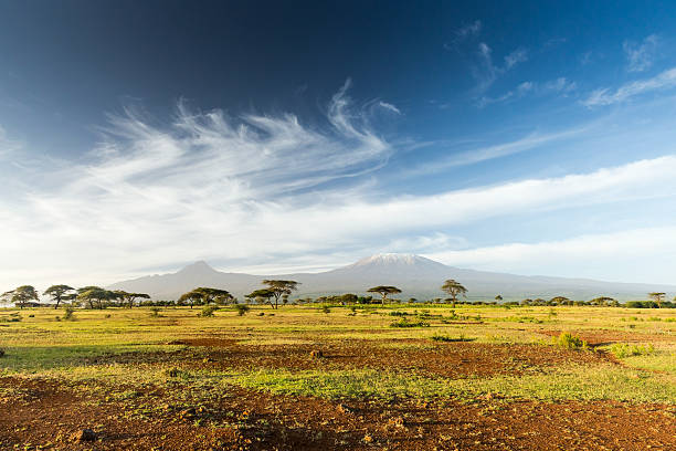
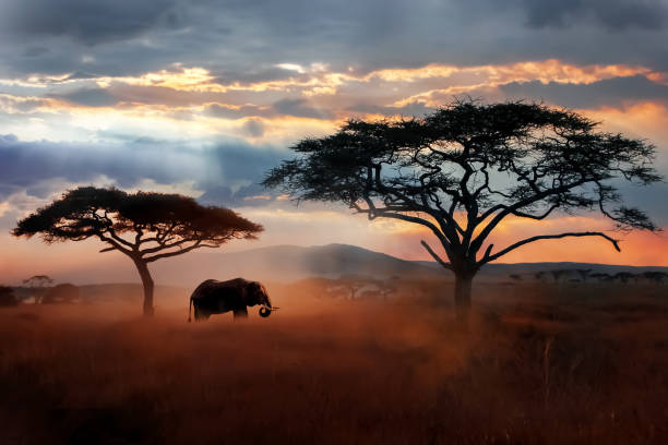
Mt Kilimanjaro & Mawenzi peak and Acacia - morning
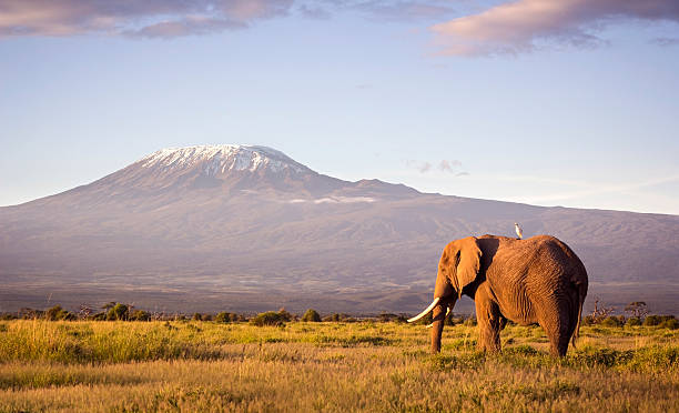
Classic safari scene of a large bull elephant against a Kilimanjaro backdrop at sunrise. Cattle egret visible perched on the elephants back. Amboseli national park, Kenya.
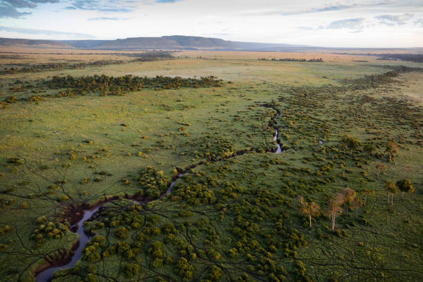
An aerial view of the Maasai Mara in Kenya. The picture was taken from a hot air balloon.
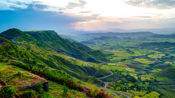
Panorama of Semien mountains and valley around Lalibela, Ethiopia
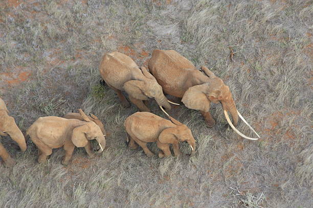
Aerial view - a large matriarch with long tusks leads her family across dry Africa grassland
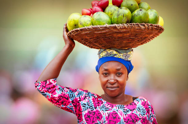
Portrait of Rwandan woman carrying on head wicker basket full of fruits
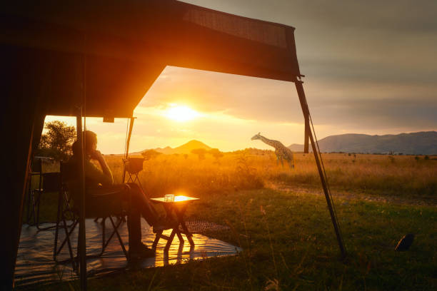
Woman rests after safari in luxury tent during sunset camping in the African savannah of Serengeti National Park, Tanzania. Woman Camping Tent Savanna Outdoors Concept