Niger Pictures, Images and Stock Photos
Browse 10,000+ niger stock photos and images available, or search for niger flag or niger delta to find more great stock photos and pictures.
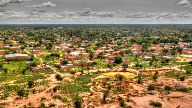
Aerial Panoramic landscape view to sahel and oasis at Dogondoutchi, Niger
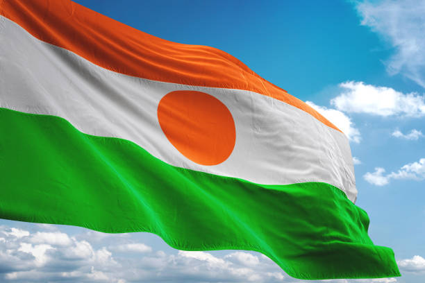
Niger flag waving cloudy sky background realistic 3d illustration
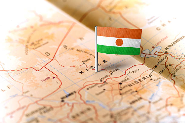
The flag of Niger pinned on the map. Horizontal orientation. Macro photography.
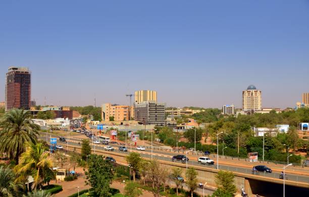
Niamey, Niger: ciity skyline from François Mitterrand avenue - Radisson Blue, Sonidep, BCEAO, Noom Hotel, Euro World, WAQF tower, BDRN building...
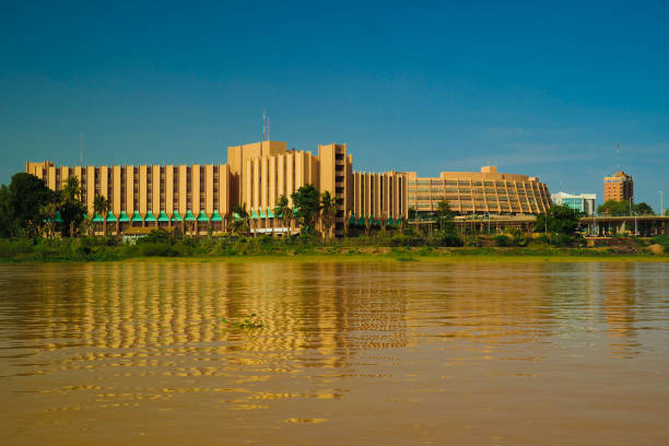
view to Niger river and Niamey city , Niger
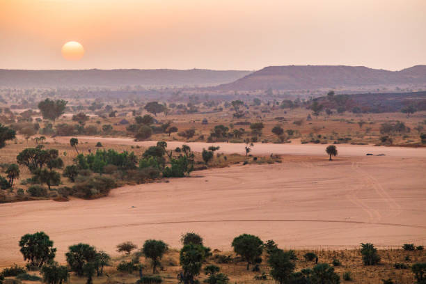
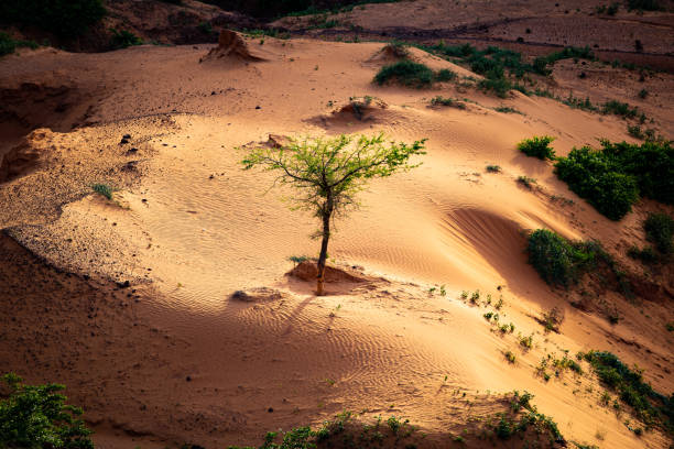
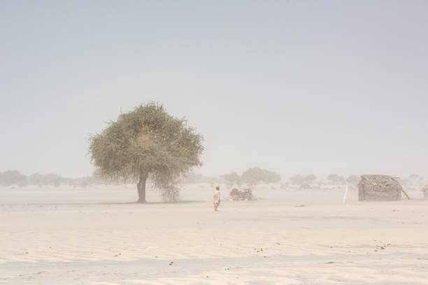
Picture taken about 15 km North-West of Niamey during the dry cooler season in the Sahel

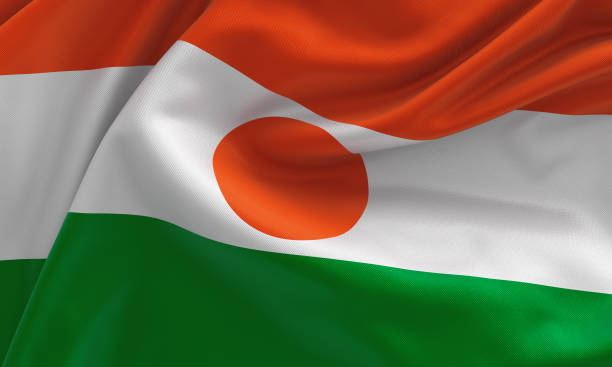
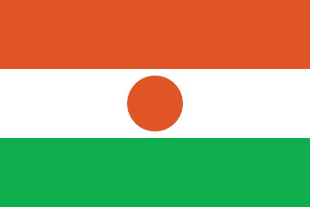
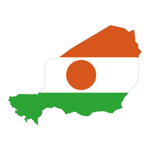
Proportion 2:3, Flag of Niger
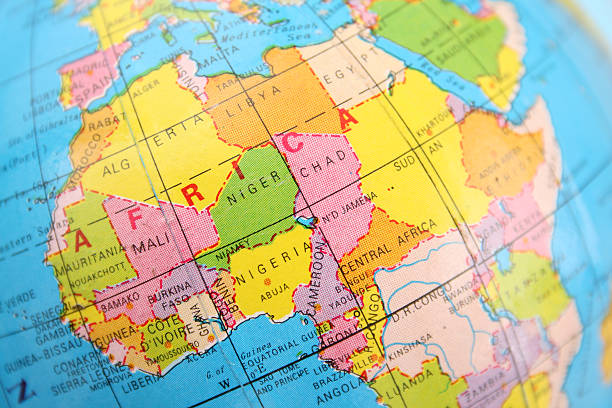
Closeup view of northern and central Africa section of cheap plastic globe
Niger flag, from fabric satin, 3d illustration
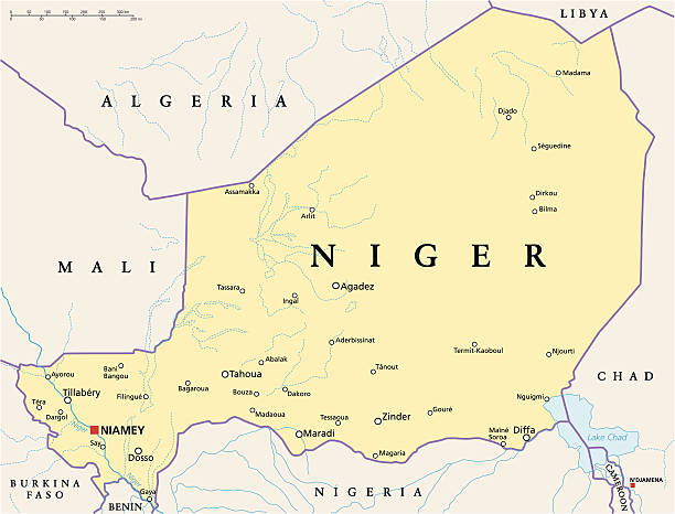
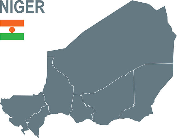
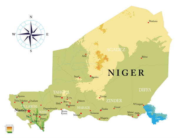
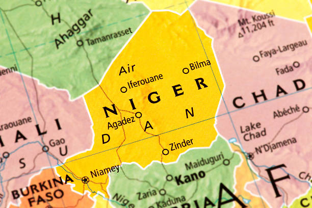
Niger Political Map with capital Niamey, national borders, most important cities, rivers and lakes. Illustration with English labeling and scaling.
Panoramic view to Bkonni village of Hausa people near Tahoua, Niger
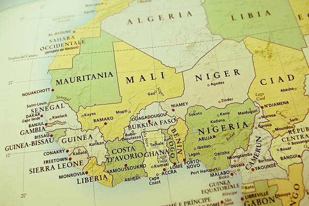
West Africa region, political map. Area with capitals and borders. The westernmost countries on the African continent, also called Western Africa. English labeling. Illustration. Vector.
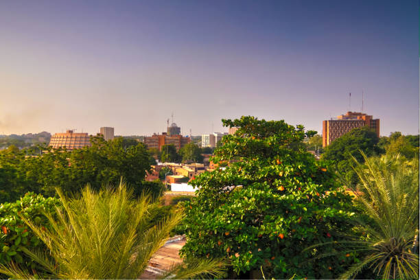
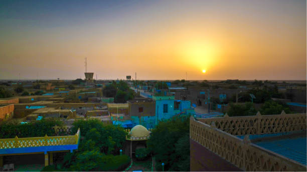
Aerial view to Niamey at sunset, Niger
http://dikobraz.org/map_2.jpg

Exterior view to Grand mosque of Agadez in Niger
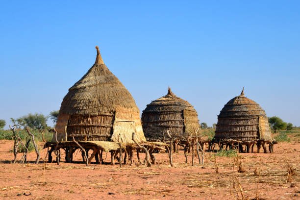
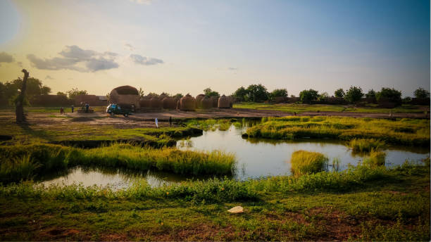
Baboussay, Tillabéri Region, Niger: thatched straw huts on stilts - African village scene
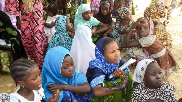
October 2013 – Maradi, Niger: Muslim school girls getting protection from the extreme heat in Niger under a shadow of a tree, outside of their school. They are waiting for their lunch in the country-side of Niger, in Africa. Picture taken as part of a school feeding monitoring programme.
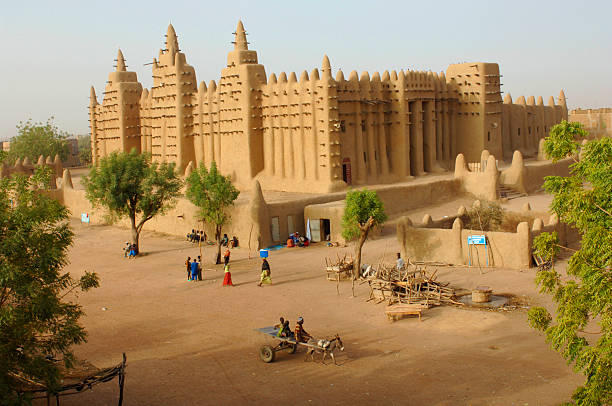
The Great Mosque at Djenne in Mali - near Timbuktu. It is the largest mud building in the world

Pays Bas-Tondi Gammé / Tondigamay, Niamey, Niger: dusty and street-less suburb, adobe / mud brick houses in the western part of the city - pattern of houses and red earth - Niamey IV area. African suburb - aerial view.
Wide angle and telephoto lenses
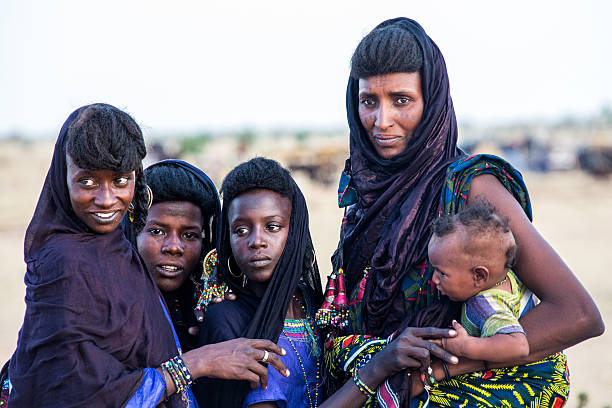
Tahoua, Niger - September 29, 2016: Peul nomad girls watching the young dancers during the Gerewol Festival. The Gerewol Festival is celebrated by the Peul nomads in the Sahel zone Niger.
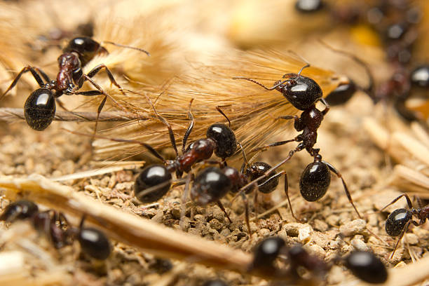
Black worker ants dragging vegetation to the colony
Aerial sunrise panoramic view to Agadez old city at Air, Niger
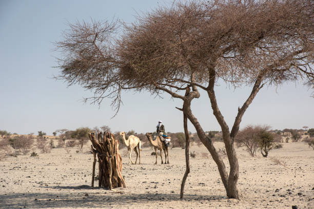
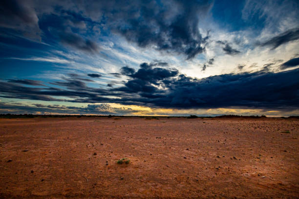
Kanem, Chad - February 04, 2020: A man of the Fula people is riding on his camel in the typical landscape of the Sahel region. Beside him there is a younger camel. The Sahel is Africas transition zone between the Sahara desert in the north and the Savanna belt in the south. Sahel means in Arabic "coast" or "shore", literally it is also the "coast of the Sahara". The Sahel belt is hot and dry and on most of the days quite windy, it is definitely one of the hardest inhabited regions of our world. For hundreds of years, the Sahel region has experienced regular droughts and mega droughts which led several times to large scale famine.
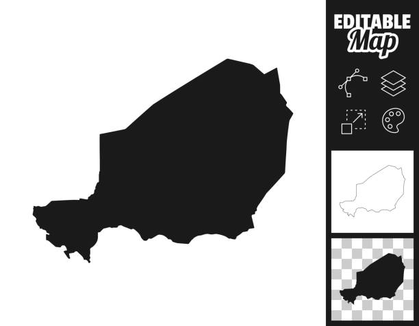
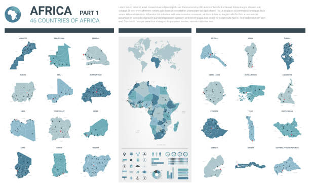
Map of Niger for your own design. Three maps with editable stroke included in the bundle: - One black map on a white background. - One line map with only a thin black outline in a line art style (you can adjust the stroke weight as you want). - One map on a blank transparent background (for change background or texture). The layers are named to facilitate your customization. Vector Illustration (EPS file, well layered and grouped). Easy to edit, manipulate, resize or colorize. Vector and Jpeg file of different sizes.
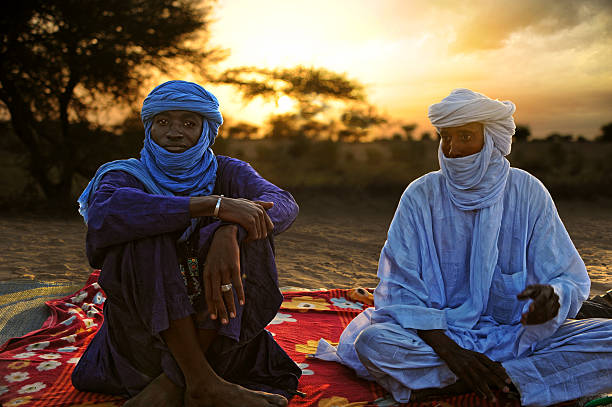
Timbuktu, Mali - september - 02 - 2011 Tuaregs resting on his carpet and ready to drink tea after a hard day's trek through the desert to Timbuktu
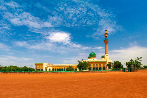
exterior view to Niamey Grand mosque, Funded with money from Libyan Government of Gaddafi, Niamey, Niger
Highly detailed physical map of Niger in vector format,with all the relief forms,regions and big cities.
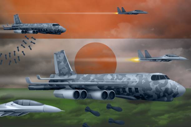
Niger bomb air strike concept. Modern Niger war airplanes bombing on flag background. 3d Illustration
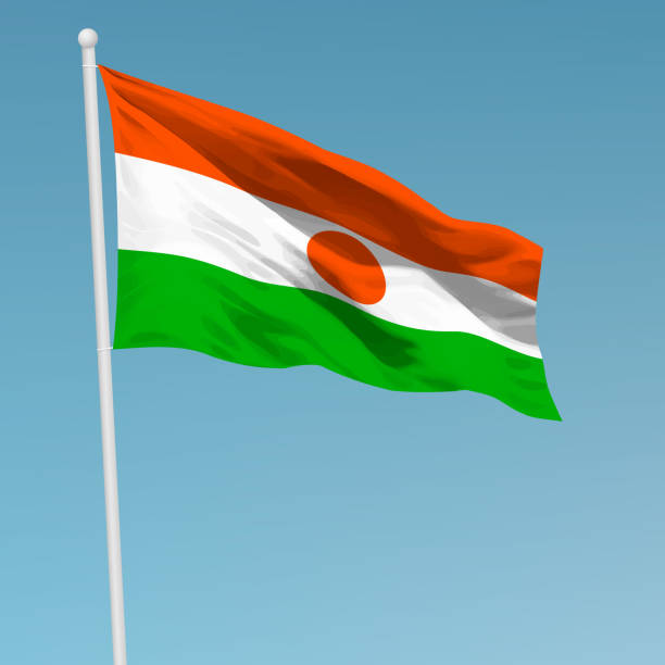
Waving flag of Niger on flagpole. Template for independence day poster design
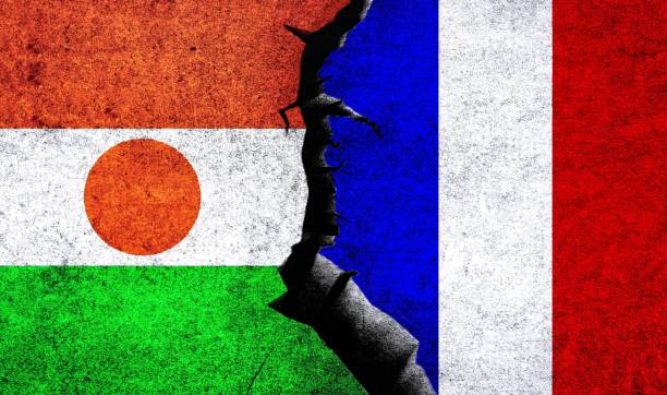
France vs Niger flags on a wall with crack. Niger France relations. France Niger conflict, war crisis, economy, relationship, trade concept
Flag of Niger blowing in the wind. Full page Nigerien flying flag. 3D illustration.
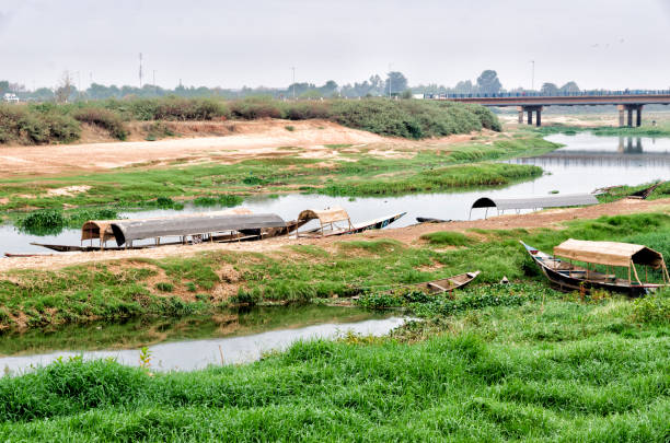
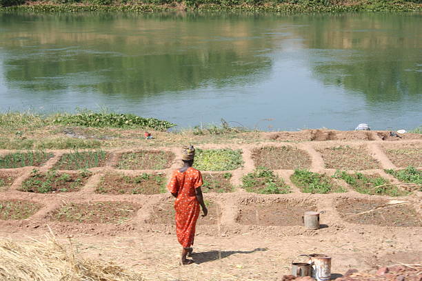
Photograph taken on June 12, 2022 in the city of Niamey, the capital of Niger. The long river that runs through the city also bears the same name, the Niger River. One of the few tourist attractions is to cross part of the river in these wooden barges that bring us closer to hippos without losing sight of the crocodiles. Sitting in these boats, you have the feeling of being able to feed on any of them, even if seeing them is an experience that was worth it.

January, during high water season
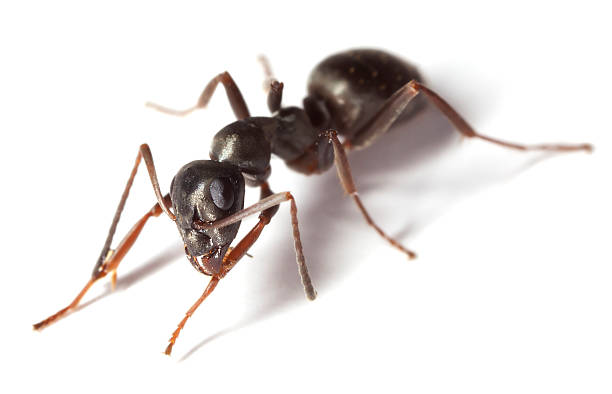
Black garden ant (Lasius niger) isolated on white background. This ant is often a pest in gardens. Extreme close-up with high magnification. Focus on the eyes.
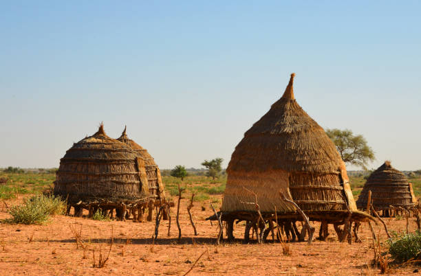
Baboussay, Tillabéri Region, Niger: thatched straw huts on stilts - African village scene
Map of Niger. A detail from the World Map.

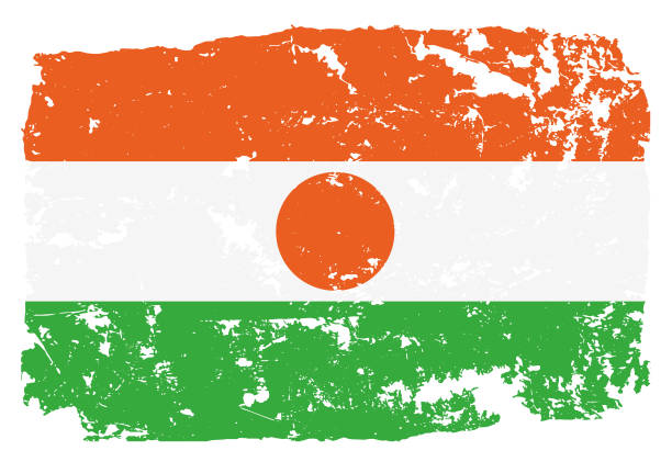
Grunge styled flag of Niger. Work is done so that there is a file with the original flag and a layer with a grunge effect on top of it
Kanem, Chad - February 04, 2020: A Fula woman in front of her samll hut in a very remote settlement during a sand storm. Typical landscape of the Sahel region. The Sahel is Africas transition zone between the Sahara desert in the north and the Savanna belt in the south. Sahel means in Arabic "coast" or "shore", literally it is also the "coast of the Sahara". The Sahel belt is hot and dry and on most of the days quite windy, it is definitely one of the hardest inhabited regions of our world. For hundreds of years, the Sahel region has experienced regular droughts and mega droughts which led several times to large scale famine.Kanem, Chad - February 04, 2020: A man of the Fula people is riding on his camel in the typical landscape of the Sahel region. Beside him there is a younger camel. The Sahel is Africas transition zone between the Sahara desert in the north and the Savanna belt in the south. Sahel means in Arabic "coast" or "shore", literally it is also the "coast of the Sahara". The Sahel belt is hot and dry and on most of the days quite windy, it is definitely one of the hardest inhabited regions of our world. For hundreds of years, the Sahel region has experienced regular droughts and mega droughts which led several times to large scale famine.
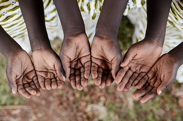
African black children hold their hands cupped to beg for help, health, education and peace for their continent.
Wide angle lens

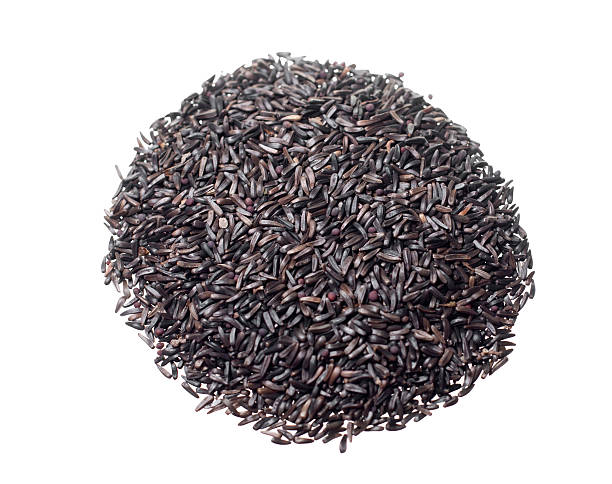
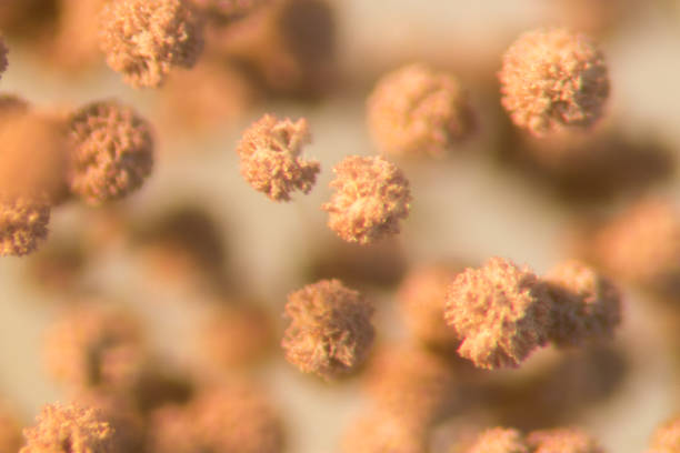
Bunch of niger seed isolated on white background
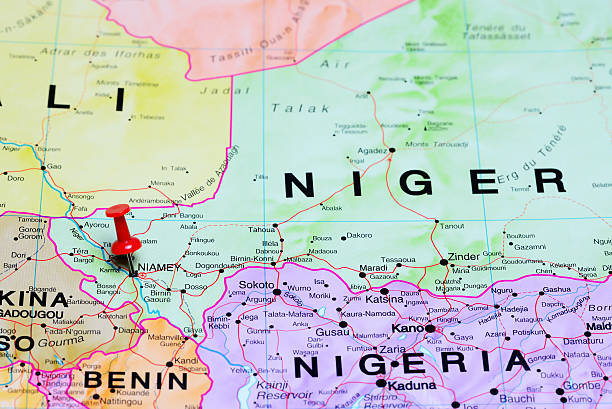
Photo of pinned Niamey on a map of Africa. May be used as illustration for traveling theme.
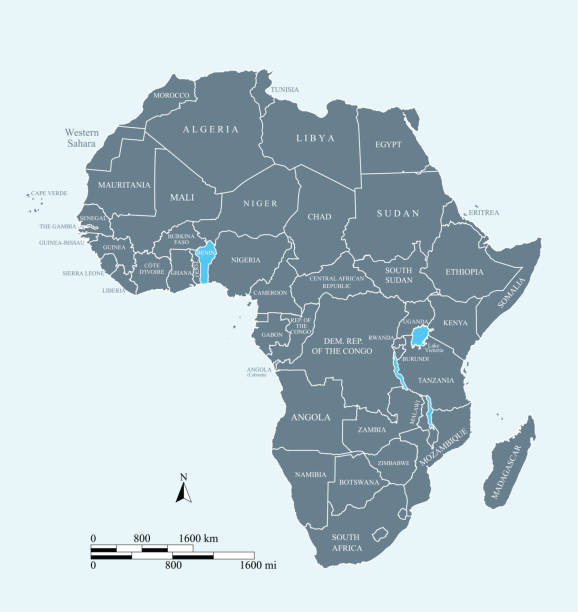
This vector map of Africa continent is accurately prepared by a GIS and remote sensing expert with highly detailed information.
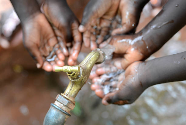
Hands of African black boys and girls with water pouring from a tap. Water scarcity or lack of safe drinking water is one of the world's leading problems affecting more than 1 billion people globally, meaning that one in every six people lacks access to safe drinking water. This affects people and especially children in Africa.
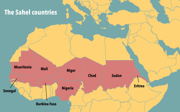
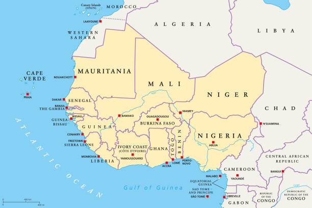
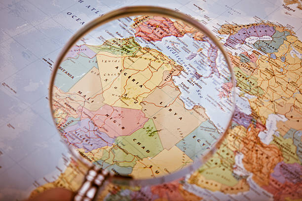
Countries of the Sahel region in Africa