South East England Pictures, Images and Stock Photos
Browse 681,200+ south east england stock photos and images available, or search for south east england map or south east england aerial to find more great stock photos and pictures.
Most popular
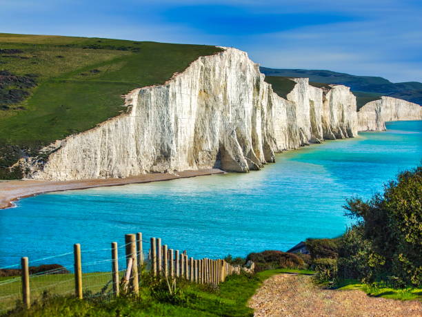
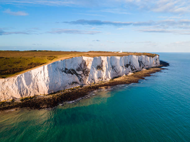
View of the coastline and White Cliffs of Dover, Kent, England

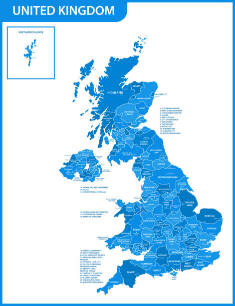
Map of England with counties UK, Vector

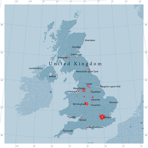
Political map of United Kingdom with capital London, national borders, most important cities, rivers and lakes. Vector illustration with English labeling and scaling.
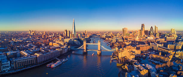
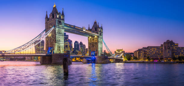
Aerial panoramic cityscape view of London and the River Thames, England, United Kingdom
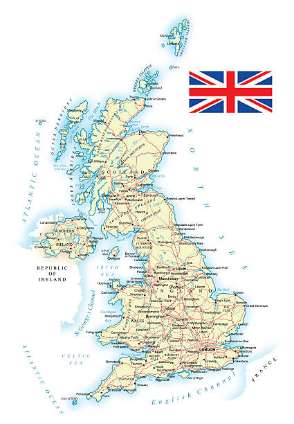
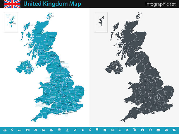
Very detailed United Kingdom map - easy to edit.
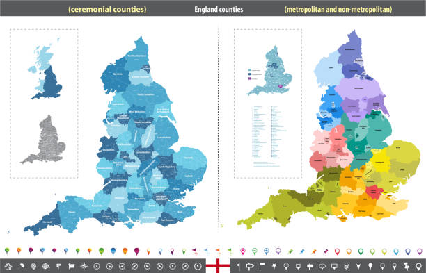
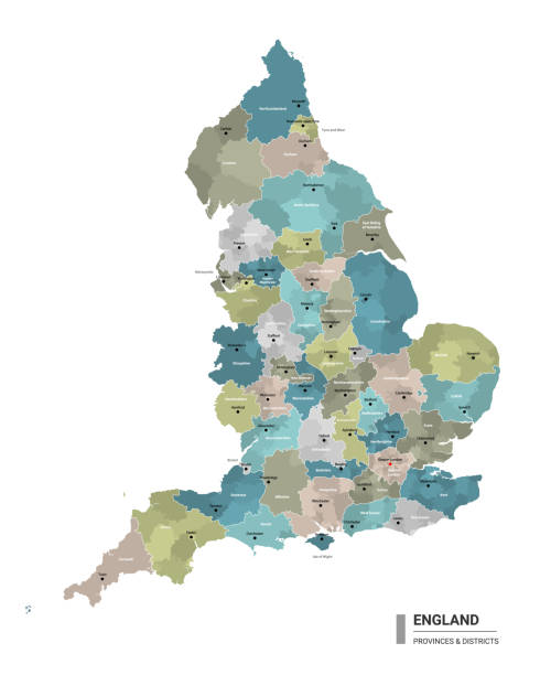
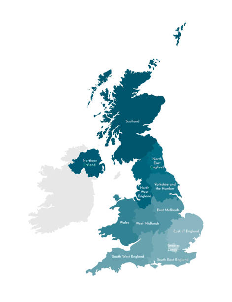
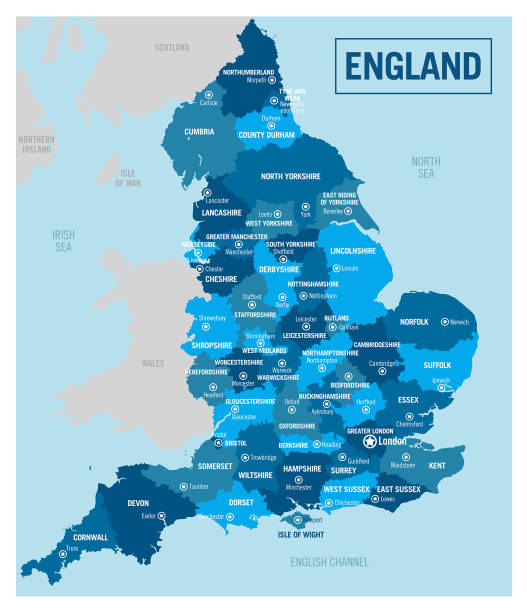
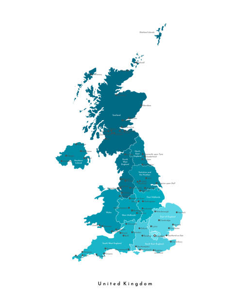
England ceremonial counties vector map colored by regions
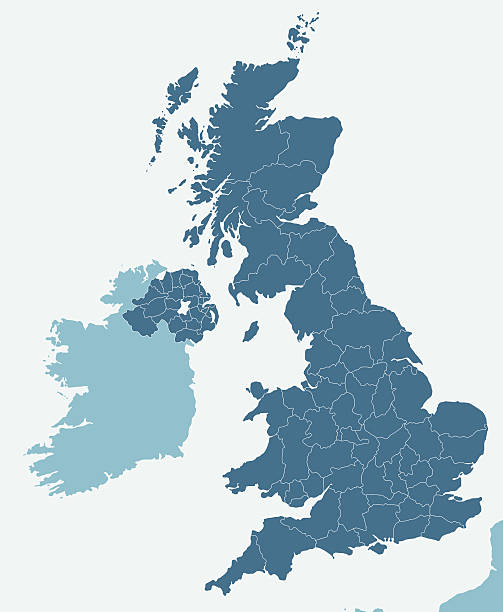
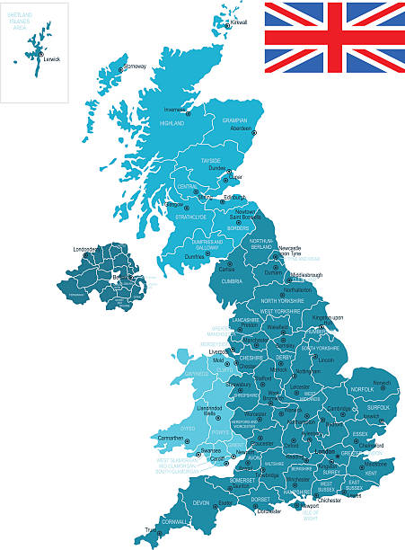
vector map of British Isles administrative divisions colored by countries and regions. Districts and counties maps and flags of United Kingdom,Northern Ireland, Wales, Scotland and Republic of Ireland
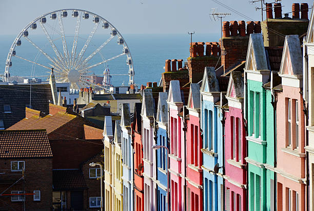
A rainbow of colourful painted houses in Brighton


aerial view of Dover and dover harbour
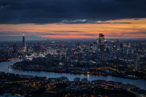
Wide aerial panorama of the illuminated London skyline during evening, England, with River Thames leading into the city
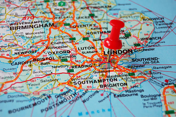
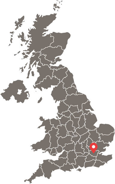
close-up pin pointing on london in map

United Kingdom (UK) from space at night with city lights of the City of London, England, Wales, Scotland, Northern Ireland, communication technology, 3d render of planet Earth, elements from NASA (https://eoimages.gsfc.nasa.gov/images/imagerecords/57000/57752/land_shallow_topo_21600.tif)

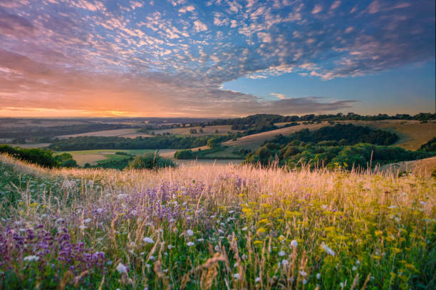
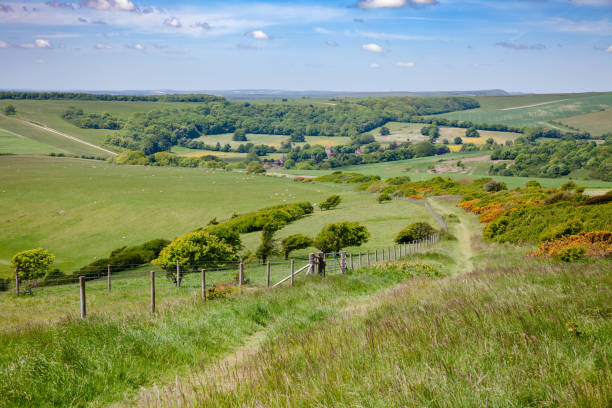
Summer view from the South Downs
Dramatic lighting and warm colours to give a homely effect.
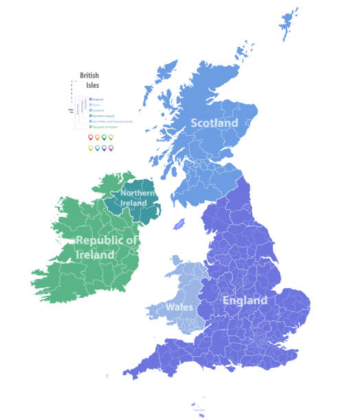
Vector isolated illustration of simplified administrative map of the United Kingdom of Great Britain and Northern Ireland. Borders and names of the regions. Colorful blue khaki silhouettes.
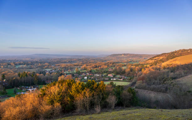
Calm morning dawn view from Colley Hill Reigate on the Surrey Hills North Downs south east England
minimal editable stroke uk map icon. flat minimal modern simplified art design element isolated on white background. concept of united kingdom area or territory and great britain badge
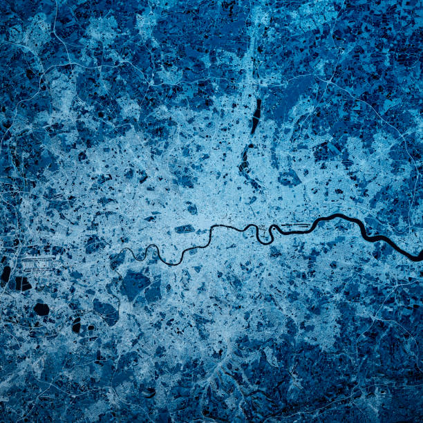
3D Render of a Topographic Map of the Greater London area, England, UK. All source data is in the public domain. Contains modified Copernicus Sentinel data (Feb 2019) courtesy of ESA. URL of source image: https://scihub.copernicus.eu/dhus/#/home. Relief texture SRTM data courtesy of NASA. URL of source image: https://search.earthdata.nasa.gov/search/granules/collection-details?p=C1000000240-LPDAAC_ECS&q=srtm%201%20arc&ok=srtm%201%20arc
Tichfield, Hamphire
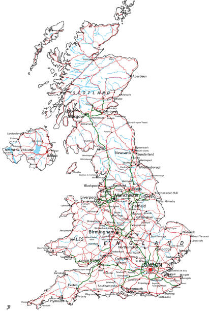
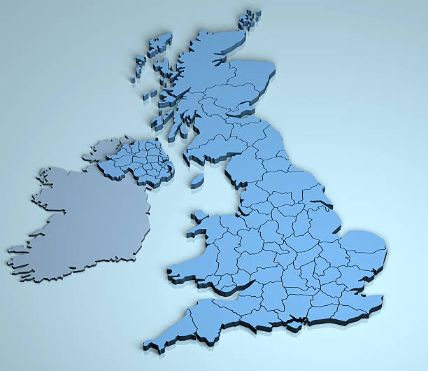
Large detailed road map of Great Britain
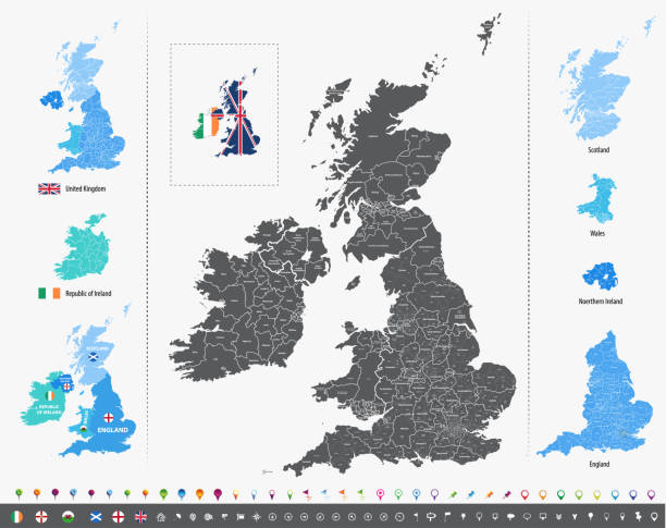
vector map of British Isles administrative divisions colored by countries and regions. Districts and counties maps and flags of United Kingdom,Northern Ireland, Wales, Scotland and Republic of Ireland
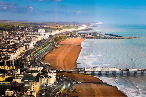
Wide angle aerial view of the beach and coastal town of Brighton, East Sussex, UK. We can see both piers extending out into the sea and in the distance the white cliffs of Sussex. Horizontal colour image with copy space.
Blue Map of United Kingdom The urls of the reference files are (country, continent, world map and globe): http://www.lib.utexas.edu/maps/europe/united_kingdom_pol87.jpg http://www.lib.utexas.edu/maps/world_maps/time_zones_ref_2011.pdf - The illustration was completed March 20, 2016 and created in Corel Draw - 1 layer of data used for the detailed outline of the land
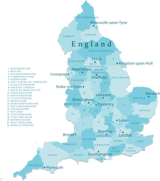
"Detailed vector map of England with administrative divisions. File was created on October 18, 2012. The colors in the .eps-file are ready for print (CMYK). Included files: EPS (v8) and Hi-Res JPG (4962aa aaa 5600 px)."
The iconic gothic battlements of Tower Bridge framing the modern skyscraper skyline of the City of London illuminated against a dramatic sunset sky over the River Thames in the heart of the UK’s vibrant capital city.

Whitstable, Kent, UK beach with wooden benches and old wooden boats moored on the beach. There is a red brick building and a pedestrian pathway. There equipment machinery of the oyster industry.
South Downs Way, a long distance footpath and bridleway along the South Downs hills in Sussex, Southern England, UK
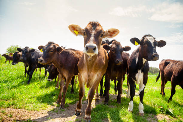
Ayreshire calves at a pasture in rural Sussex, Southern England, UK

Big Ben in London England UK
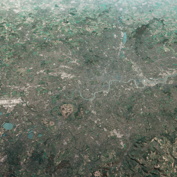
3D Render of a Topographic Map of the Greater London area, England, UK. All source data is in the public domain. Contains modified Copernicus Sentinel data (Feb 2019) courtesy of ESA. URL of source image: https://scihub.copernicus.eu/dhus/#/home. Relief texture SRTM data courtesy of NASA. URL of source image: https://search.earthdata.nasa.gov/search/granules/collection-details?p=C1000000240-LPDAAC_ECS&q=srtm%201%20arc&ok=srtm%201%20arc
Detailed vector map of United Kingdom, including main cities, roads, rivers and lakes. The colors in the .eps-file are ready for print (CMYK). Included files are EPS (v10) and Hi-Res JPG (4922 x 4922 px).
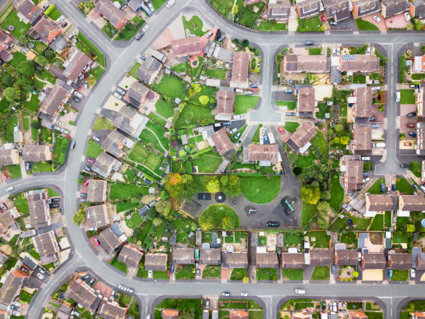
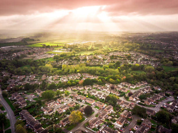
Looking straight down with a satellite image style, the houses look like a miniature village
Gately’s Universal Educator Educational Cyclopedia - Washington 1886
United Kingdom road and highway map. Organized vector illustration on seprated layers.

Beautiful winter view of the snow covered Westminster Palace and Big Ben tower in London, England
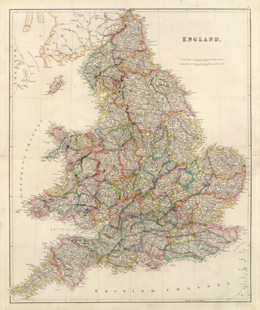
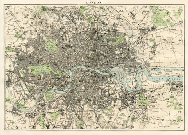
Antique map of EnglandSee more antique maps scanned from my collection of antique maps and engravings on iStockphoto:
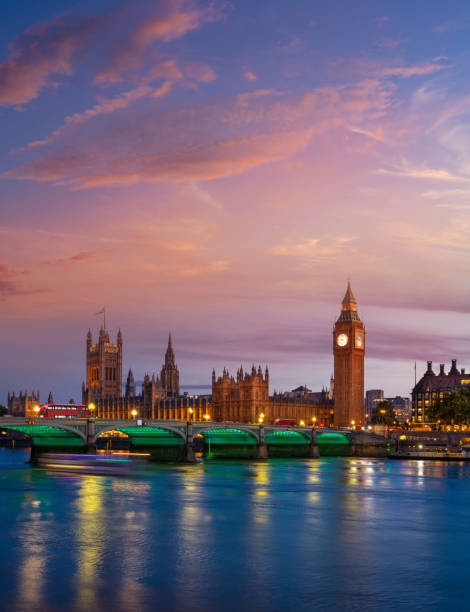
London Big Ben and Houses of Parliament in Westminster Bridge on river Thames at sunset lights in UK Great Britain United Kingdom, England at the evening dusk
Vector maps of the United Kingdom with variable specification and icons The urls of the reference files are (country, continent, world map and globe): http://www.lib.utexas.edu/maps/europe/united_kingdom_pol87.jpg http://www.lib.utexas.edu/maps/world_maps/time_zones_ref_2011.pdf - The illustration was completed March 23, 2016 and created in Corel Draw - 1 layer of data used for the detailed outline of the land
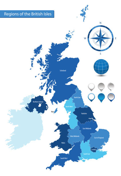
Vector map of the regions of the British Isles for your design

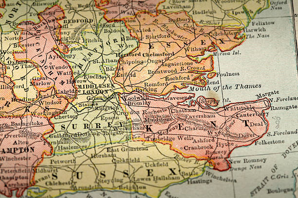
Vintage engraving of a Antique map, Cambridge, Hertford, Essex, Suffolk, England 19th Century
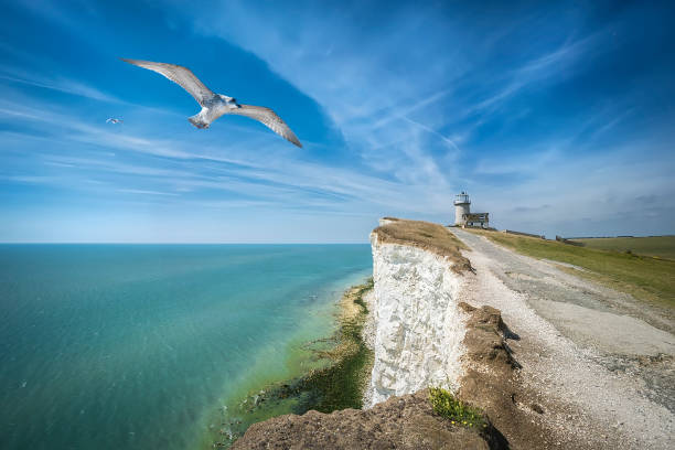
This is a view of the blue sea, Belle Tout Lighthouse, seagulls, road to the lighthouse, East Sussex, Eastbourne, England, UK. Can be used for websites, brochures, posters, printing and design.

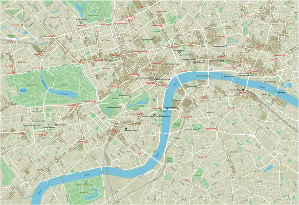
Futuristic travel GPS map or location navigator, navigate mapping technology and final destination on the streets of the city London, high tech vector background

Windsor, UK - April 30, 2022: Windsor Castle, Royal residence at Windsor in the English county of Berkshire.
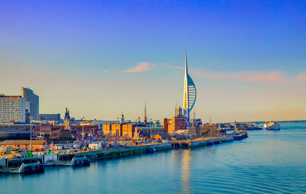
Portsmouth, England, June 2018, Portsmouth port in the late evening
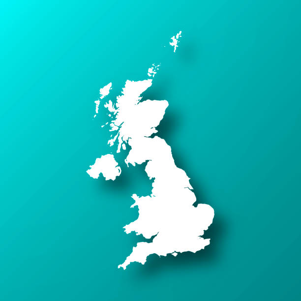
White map of United Kingdom isolated on a trendy color, a blue green background and with a dropshadow. Vector Illustration (EPS10, well layered and grouped). Easy to edit, manipulate, resize or colorize.