Western Sahara Pictures, Images and Stock Photos
Browse 2,500+ western sahara stock photos and images available, or search for western sahara conflict or western sahara morocco to find more great stock photos and pictures.
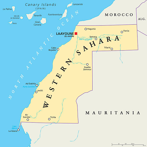
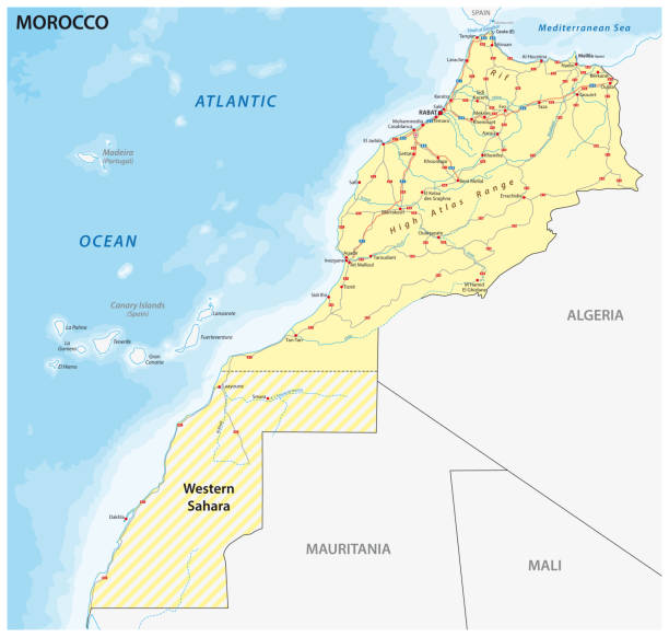
Western Sahara political map with capital Laayoune, national borders, important places and rivers. A disputed territory in the Maghreb region of North Africa. Illustration with English labeling.

Laâyoune / El Aaiun, Saguia el-Hamra, Western Sahara: houses on the edge of the Oued Saqui el-Hamra - water reflection in a wadi in the Sahara desert - vernacular architecture - photo by M.Torres
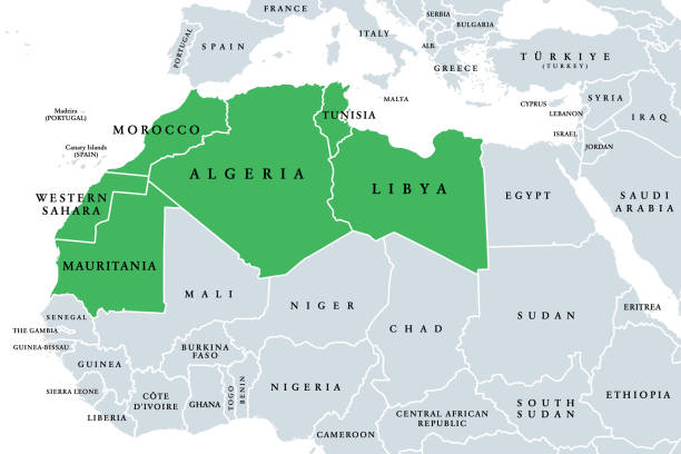
Maghreb, Arab Maghreb or also Northwest Africa, political map. Part of the Arab World, comprising Algeria, Libya, Morocco, Mauritania, Tunisia, Western Sahara and the Spanish cities Ceuta and Melilla.
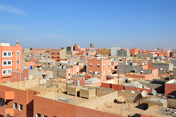
Laâyoune / El Aaiun, Saguia el-Hamra, Western Sahara: skyline - north African buildings with terraces - photo by M.Torres
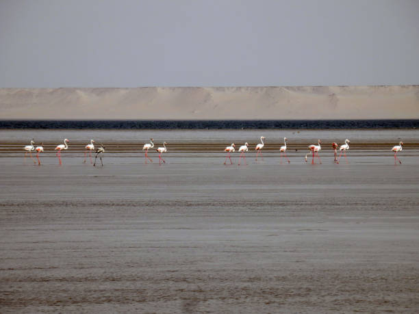
Saguia el Hamra River in Laayoune. Laayoune, Western Sahara, Morocco.
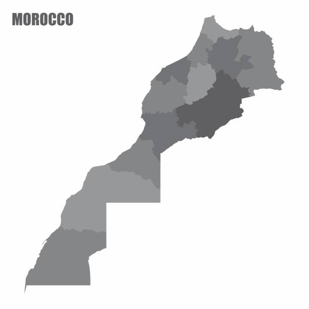
Road vector map of the Kingdom of Morocco

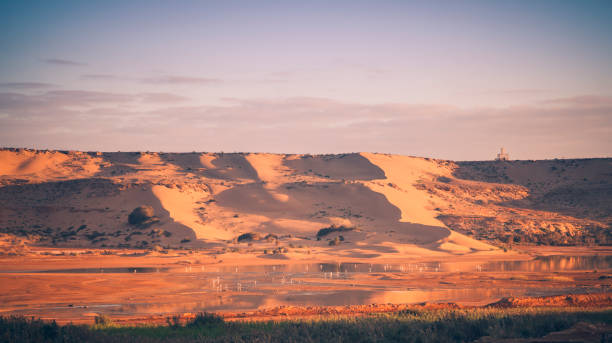
In the region of Sous Massa, near Tata, in south-eastern Morocco, stretches a desert plain of the Sahara Desert, near the Anti-Atlas mountain range at the foot of Jebel Bani. The desert advances little by little and sand dunes sometimes cover the palm trees of the great oasis.


Western Sahara, refugee camps, December 31, 2015. Boy that says stop!

Aerial view of Dakhla. Dakhla, Western Sahara.
Vector illustration in HD very easy to make edits.
3d render Western Sahara Flag (Depth Of Field)
The Morocco isolated map divided in regions with Western Sahara
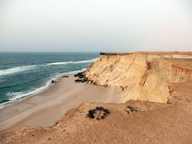
Atlantic coast in Western Sahara near Dakhla
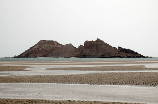
Dragon island in atlantic coast near Dakhla in Western Sahara

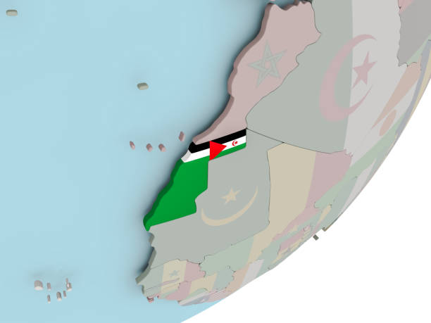
3D render of Western Sahara on political globe with embedded flag. 3D illustration. 3D model of planet created and rendered in Cheetah3D software, 29 Sep 2017.
Empty flag field of another country. Country comparison. Easy editing and vector in groups.

Vector Cemal and sea

Northern Africa, subregion, political map with single countries and international borders. Group of Mediterranean countries on the African continent geoscheme. Illustration on white background. Vector

Laayoune / El Aaiun, Saguia el-Hamra, Western Sahara, Morocco: colonial period houses reflected on the Oued Saqui el-Hamra. Algae in the bottom of the oued. Former Spanish Africa.

Macaronesia political map. Azores, Cape Verde, Madeira, Canary Islands. Collection of archipelagos in the Atlantic Ocean off the coast of Africa. English labeling. Gray illustration over white. Vector
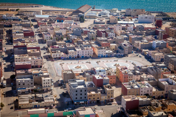
Aerial view of Dakhla. Dakhla, Western Sahara, Morocco.
Beach, sea dunes and birds near Dakhla in Western Sahara

Macaronesia political map. Azores, Cape Verde, Madeira and Canary Islands. Collection of four archipelagos in the North Atlantic Ocean, off the coast of Africa. English labeling. Illustration. Vector.
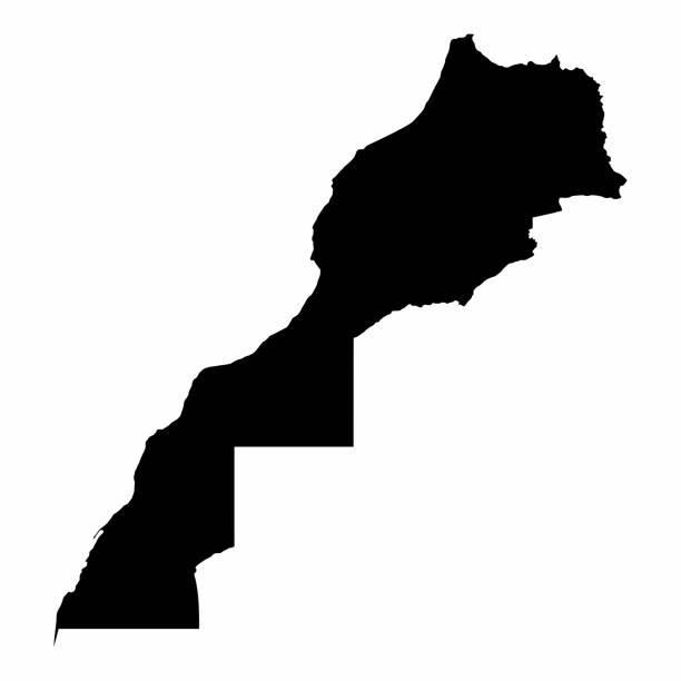
Morocco and Western Sahara dark silhouette map isolated on white background
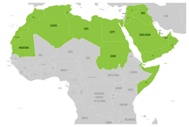
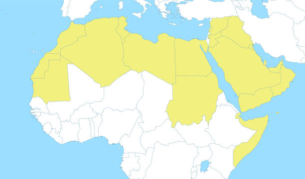
Arab World states political map with higlighted 22 arabic-speaking countries of the Arab League. Northern Africa and Middle East region. Vector illustration.

Architecture of Laayoune. Laayoune, Western Sahara, Morocco.
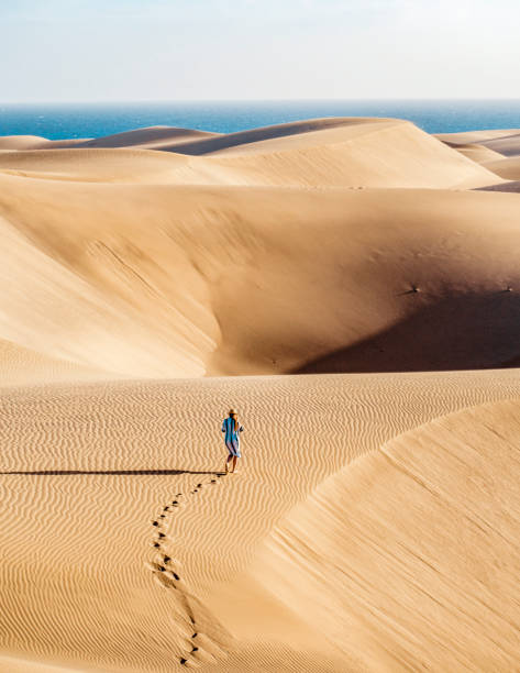
Lonely traveler, travel blogger walking alone in the Sahara desert, hot temperatures, desert life.
North Africa region, political map. Yellow colored area, with capitals and borders. Collective term for a group of Mediterranean countries on African continent. English labeling. Illustration. Vector.

Vector illustration in HD very easy to make edits.
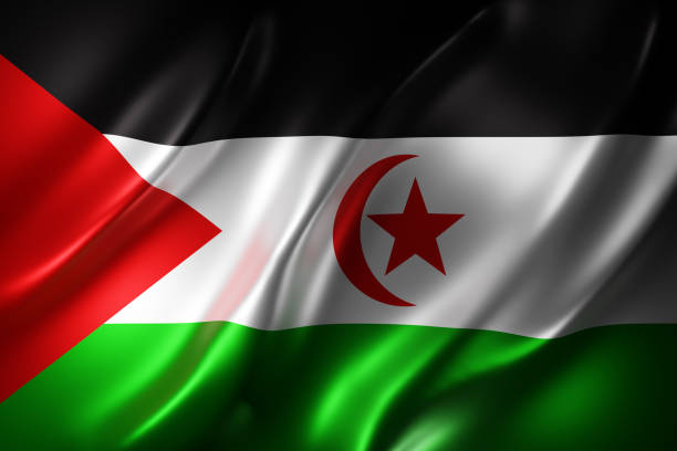
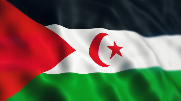
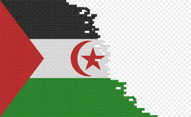
3d rendering of a textured national Sahrawi Arab Democratic Republic flag.
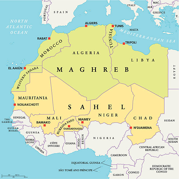
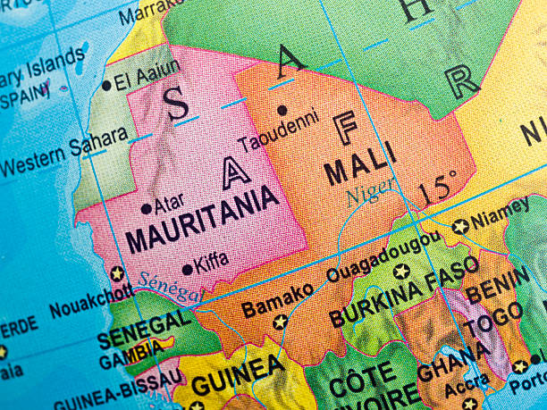
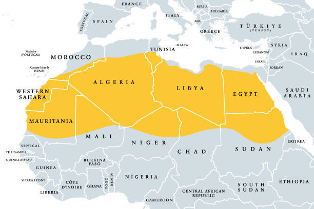
Maghreb and Sahel Political Map with capitals and national borders. English labeling and scaling. Illustration.

Saharian and sub-Saharian Nations close up in an small world globe
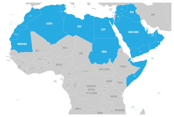
Arab World states political map with higlighted 22 arabic-speaking countries of the Arab League. Northern Africa and Middle East region. Vector illustration.
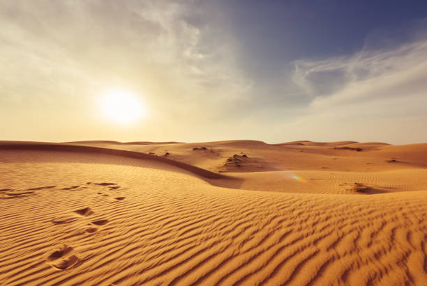
View of sunshine in Sahara desert

Atlantic Desert Shore between City of Dakhla and Mauritania
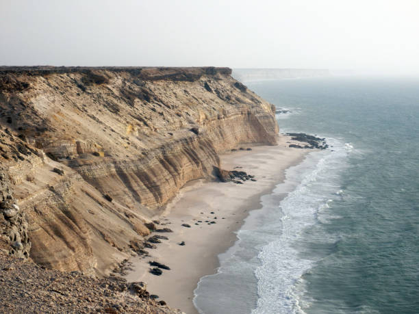
Atlantic coast in Western Sahara near Dakhla
Political color map of Arab World with borders of the states

People with movie equipment walking in Ouarzazate, Morocco. Two women in hijabs look on.
The Sahara, desert on African continent, political map. Largest hot desert in the world, making up most of North Africa, located between the fertile regions on Mediterranean Sea coast, and the Sahel.

Panoramic shot of a number of tourists at the site of Ait Benhaddou, a UNESCO heritage site.

Railway through the city of Ouagadougou, Burkina Faso
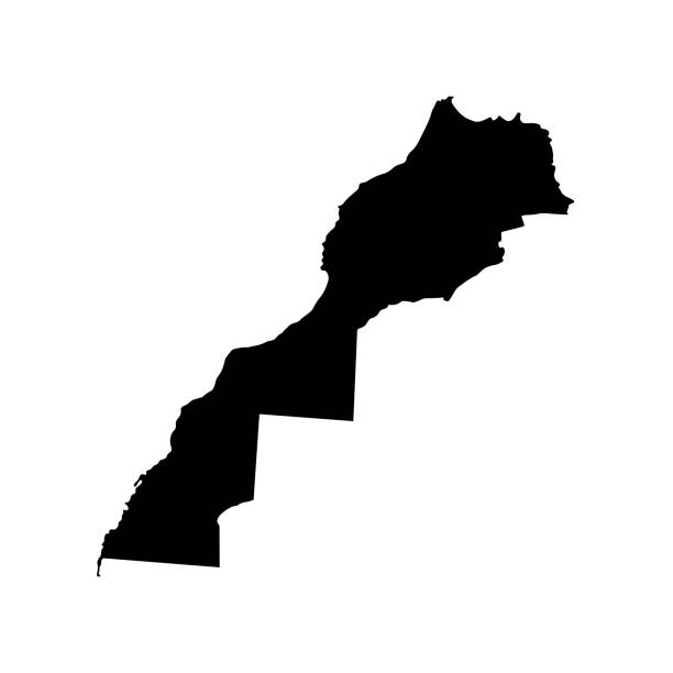
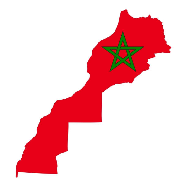
Vector isolated illustration - simplified map of Morocco (including disputed territory of Western Sahara). Black silhouette. White background
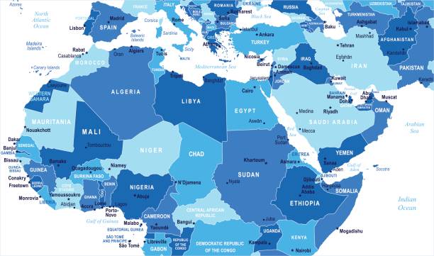
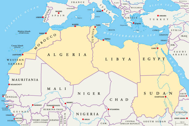
North Africa Map - Detailed Vector Illustration
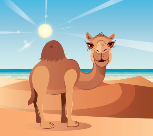
Vector Camel and Desert


Vector illustration in HD very easy to make edits.
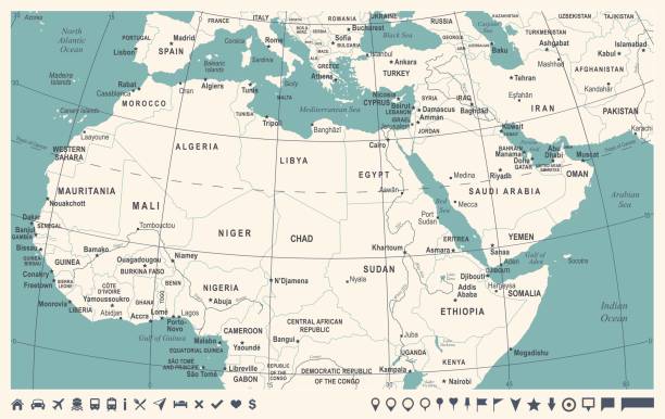
North Africa Map - Vintage Detailed Vector Illustration
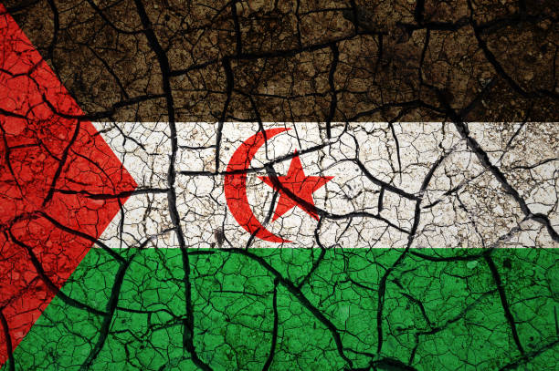
Country with drought concept. Water problem. Dry cracked earth country.
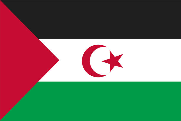
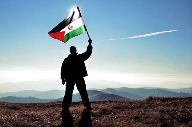
Flag of Western Sahara. Rectangular shape icon on white background, vector illustration.
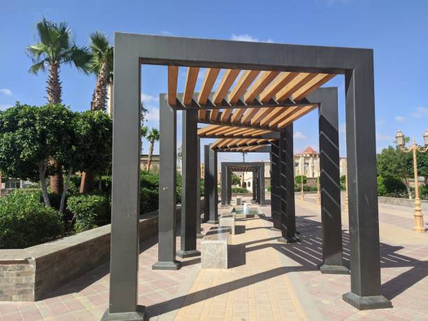
A small garden for those who want to rest a bit in sunny times A small garden for those who want to rest a bit in sunny times located in Laayoune, Morocco
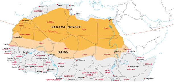
Sahara and Sahel vector map

North Africa countries political map with capitals and borders. From Atlantic shores of Morocco to Egypt and Red Sea. The Maghreb and Mediterranean countries. Illustration. English labeling. Vector.

Arab World states political map with higlighted 22 arabic-speaking countries of the Arab League. Northern Africa and Middle East region. Vector illustration.

Morocco administrative blue-green map with country flag and location on a globe. Vector illustration
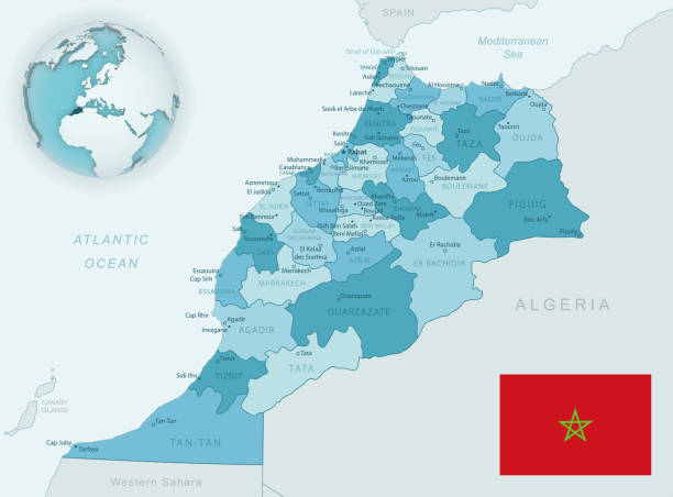
Blue-green detailed map of Morocco administrative divisions with country flag and location on the globe. Vector illustration